
Facebook

Twitter (X)

Instagram

Somali Magazine - People's Magazine
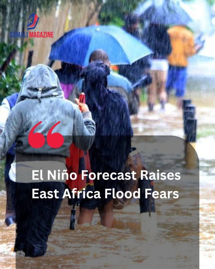
A rapidly strengthening, historically unprecedented climate pattern is putting global disaster agencies on high alert as the latest El Niño forecast raises flood fears across East Africa. According to the World Meteorological Organization (WMO) and the US Climate Prediction Center, there is an 81% probability that this year’s cycle will develop into a “very strong” or “super” El Niño—potentially ranking among the most severe events recorded since 1950. While the early stages of the weather system are driving severe mid-year droughts across parts of the Horn of Africa, scientists warn that the true peril lies ahead during the late-year “short rains” season, when torrential, climate-induced downpours are projected to overwhelm rivers and low-lying communities.
Understanding the Dual-Phase Risk of the 2026 El Niño
The evolution of the current El Niño cycle presents a complex, two-phase challenge for regional governments. Rather than delivering continuous rainfall, the atmospheric shifts alter precipitation patterns differently depending on the month and localized geography.
| Phase & Timeline | Impacted Regions | Primary Weather Outlook | Key Humanitarian Threats |
|
Phase 1 (July–September) |
South Sudan, Uganda, Ethiopia, Western Kenya | Severely below-average rainfall; emerging drought and moisture stress | Crop failure, livestock loss, and heightened food insecurity |
|
Phase 2 (October–December) |
Somalia, Kenya, Southern Uganda, Eastern Tanzania | Enhanced, torrential rainfall and potential super-storms | Widespread flooding, mudslides, infrastructure damage, and cholera outbreaks |
The Compounding Threat of a Positive Indian Ocean Dipole
What makes the current trajectory exceptionally dangerous is the parallel development of a positive Indian Ocean Dipole (IOD). When a positive IOD—characterized by warmer-than-average sea surface temperatures in the western Indian Ocean—occurs simultaneously with a strong Pacific El Niño, it acts as an atmospheric supercharger. This dual-ocean warming vastly increases moisture transport toward the East African coast, dramatically multiplying the likelihood of catastrophic rainfall events.
During previous joint events—most notably in 1997 and 2023—subsequent deluges submerged entire agricultural basins, swept away critical bridge networks, and displaced hundreds of thousands of people across Somalia, Kenya, and Uganda.
A Warning from the Ground: “We are watching several emergencies converge at once,” cautions Bob Kitchen, Vice President for Emergencies at the International Rescue Committee (IRC). “The places least equipped to absorb another shock are the ones in the crosshairs. Acting now, before the rain falls, is far cheaper and far more humane than responding after people have lost everything”.
A Fragile System Under Immense Strain
Humanitarian groups emphasize that the sheer vulnerability of the population is the most critical variable in the upcoming disaster response. Many regions targeted by the incoming storm models are still struggling to recover from historical multi-year droughts and localized conflicts.
With funding for global humanitarian response experiencing deep international cuts, the capacity to execute mass evacuations, distribute emergency medical packages, and rebuild critical roads remains highly restricted. Early anticipatory actions, such as distributing direct cash assistance to families in high-risk zones, are currently being deployed to help local populations secure food, reinforce shelter structures, and protect remaining livestock before the first severe downpours arrive.